Yasir Sultan Geodesic Flux
⚡ Shortest Path
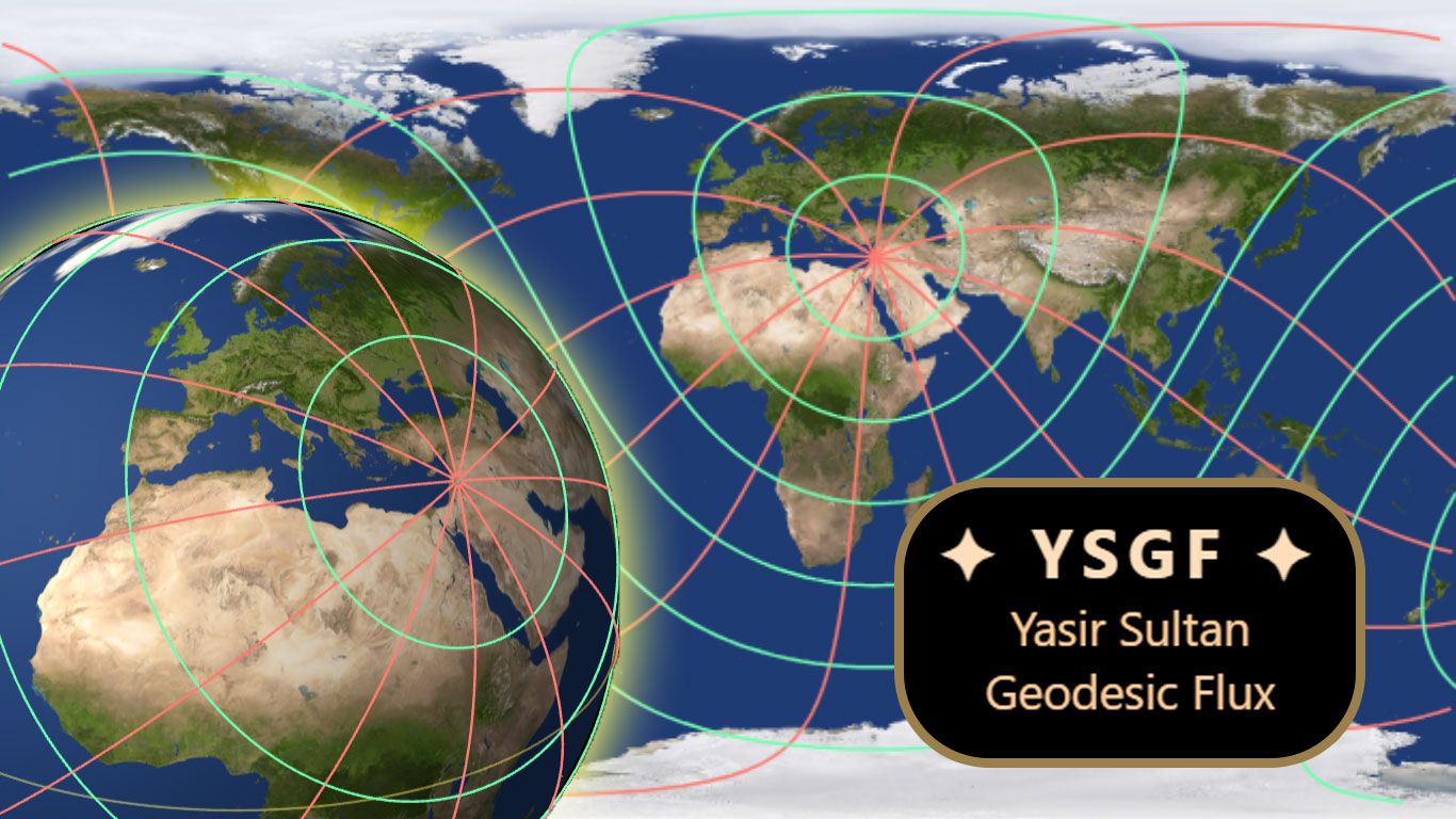
Find the shortest path from your location to any place in the world intuitively, using flux lines (red lines in the image above). Optimal routes for logistics.
⚡ True Distances
Get the true distances from your location to any place in the world intuitively. using equal distance lines (green lines in the image above).
🧠 Great Educational Tool
Help student to understand geography, maps, and math effortlessly.
💸 Free For Everyone
Free to use for you, anywhere and anytime.
🌀 Geodesic Rotational Normalization
Dynamic coordinate rotation turns spherical great-circle paths into rectified straight lines.
📍 Observer‑Centric Mapping
Any city or point becomes the north pole. Realign the entire geodesic grid instantly.
🌐 Real Globe 2D & 3D Fusion
Seamless overlay on Mercator maps (2D) + WebGL/Three.js 3D globe rendering.
🚀✈️🚚 Logistics Optimized
Autonomous aviation, fleet routing, real‑time trajectory planning.
📐 Curvature‑Aware Intelligence
Preserves true spherical curvature while providing intuitive straight-line navigation.
⚙️ High‑Performance real-time Engine
Dynamic grid regeneration at real-time.
🎛️ Flexible API & Flux Control
Ready to be used with any website.
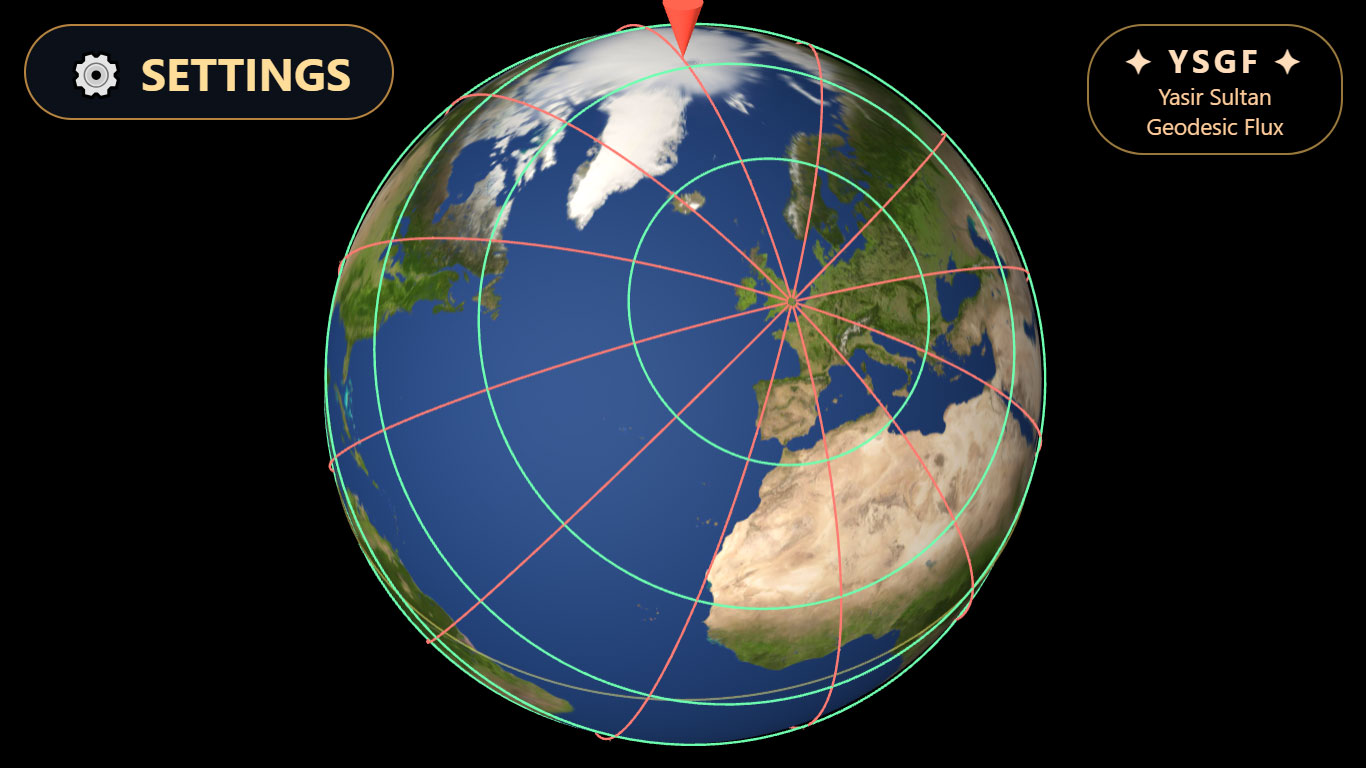
🌐 3D Interactive Globes (Spheres)
3D Interactive Globes of London. You Can choose from list of cities, or enter any Coordinates.
Click to enlarge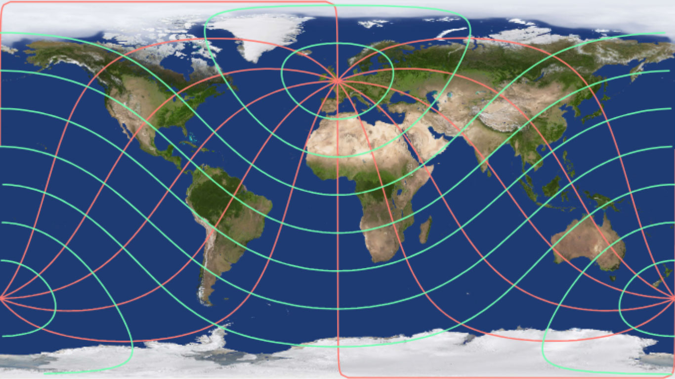
🗺️ 2D Maps
2D YSGF map of London. You Can choose from list of cities, or enter any Coordinates.
Click to enlarge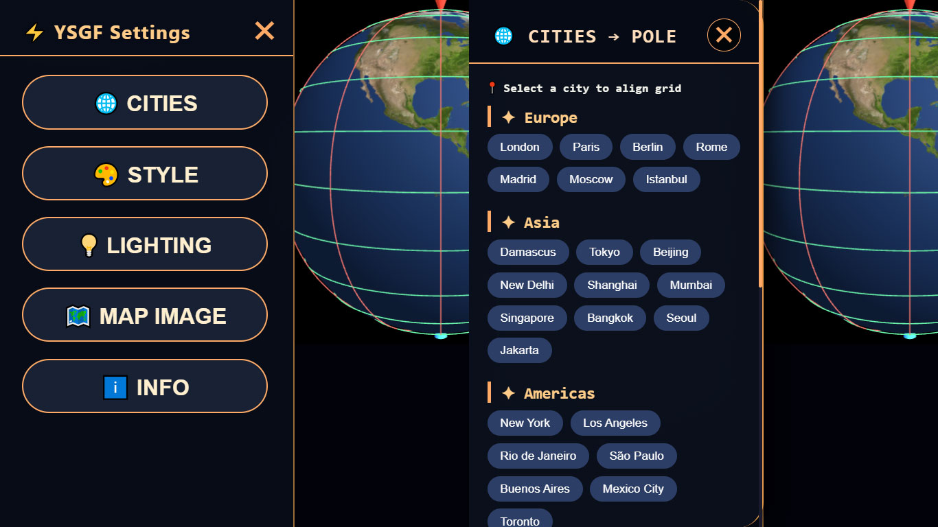
⚙️ Many Settings and Cities
Options for lighting , Style, Maps, etc.
Many Cities , You can enter any city coordinate
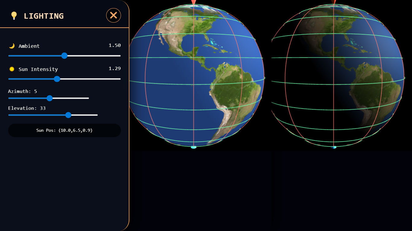
💡 Lighting
Choose lighting option for immersive experience.
Click to enlarge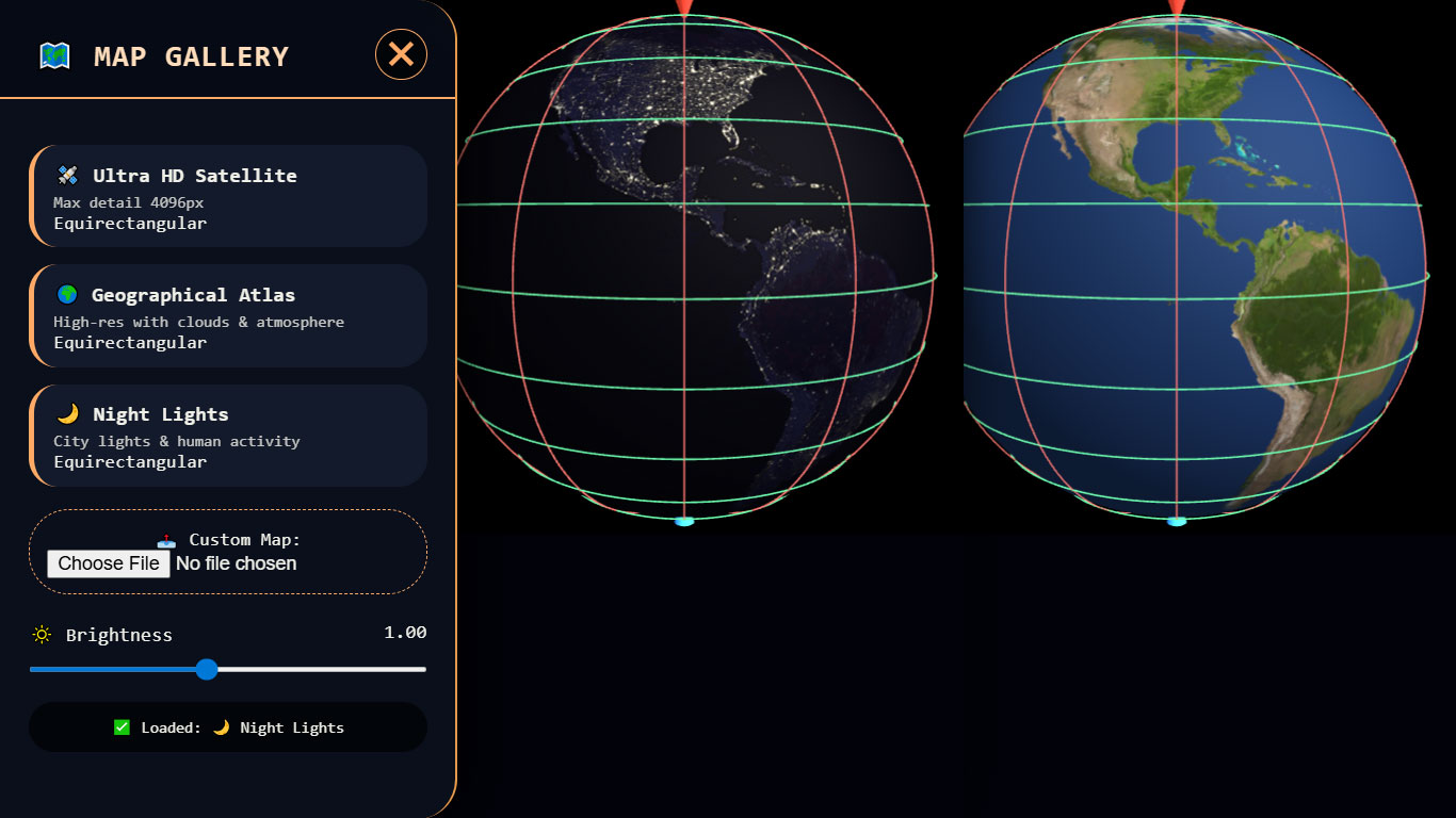
🗺️ Many Maps
Maps for day and night. you can upload your own (UV) map.
Click to enlarge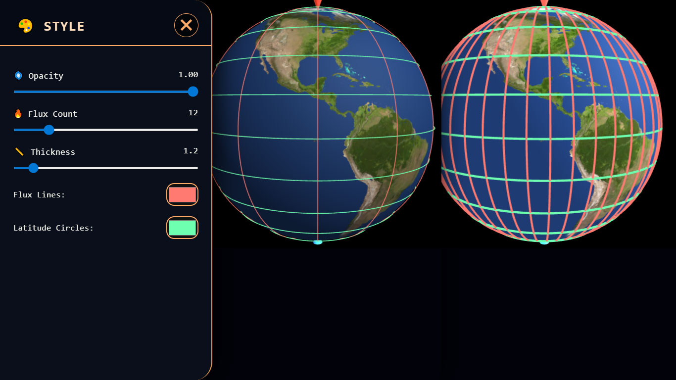
🎨 Style
Choose any color, any number of lines, and more.
Click to enlarge